Quick Facts
- Distance: 223 miles
- Termini: Talimena State Park (Oklahoma) to Pinnacle Mountain State Park (Arkansas)
- Total Elevation Gain: Approximately 34,300 feet
- Best Seasons: Early spring (March–April) or late fall (October–November)
- Permits: No permits or fees required for through-hiking
- Typical Duration: 10 to 15 days for a full thru-hike
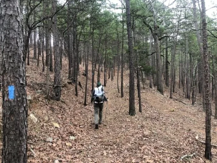
- Navigation Standards: Blue blazes and the FarOut navigation app
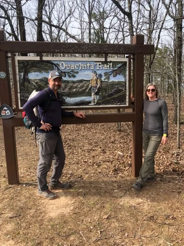
The Ouachita Trail is a 223-mile National Recreation Trail that traverses the rugged ridges between Talimena State Park in Oklahoma and Pinnacle Mountain State Park in Arkansas. This Ouachita Trail guide is designed to help you navigate the logistics of thru-hiking the Ouachita Trail, prioritizing the spring or fall shoulder seasons to avoid extreme heat while utilizing a well-maintained network of shelters and strategic water caches.
Regional Overview: The Kiamichi Mountains to Little Rock
If you are planning a thru-hike, the first thing to master is the pronunciation: it is pronounced WASH-I-tah. This rugged corridor follows the only major mountain range in North America that runs east to west, rather than north to south. As you walk, you are traversing the ancestral lands of the Caddo, Osage, Quapaw, and Cherokee peoples, whose history in the Ouachita National Forest dates back thousands of years.
Most hikers choose the traditional westbound to eastbound route. Starting at Talimena State Park in Oklahoma allows you to begin in the high, scenic Kiamichi Mountains and walk toward the relative civilization of Little Rock. The geography transitions from steep, rocky ridges in the west to rolling hills and pine forests in the central sections, ultimately ending at the iconic summit of Pinnacle Mountain. Planning a westbound vs eastbound Ouachita hike essentially comes down to personal preference, but the eastern half is notoriously rocky, and many prefer to tackle those technical sections with lighter packs toward the end of their journey.
Logistics: Ouachita Trail Resupply Points and Shelters
One of the most appealing aspects of the Ouachita National Recreation Trail is its incredible shelter system. The trail features a system of 21 designated backpacker shelters, which are typically spaced between 8 and 12 miles apart along the route. These three-sided Adirondack-style structures offer a dry place to sleep and a sense of community, though they lack privies, making strict Leave No Trace principles essential for waste management.
Navigating Ouachita Trail resupply logistics is the most challenging part of the planning process because the path remains remarkably remote, rarely passing through towns. You will need to rely on mail drops and a few key businesses willing to assist hikers.
| Mile-Marker | Location | Services Available |
|---|---|---|
| 51.5 | Queen Wilhelmina Lodge | Resupply box holding, restaurant, lodging, water |
| 122.5 | Bluebell Cafe (Story, AR) | Resupply box holding, hot meals, small grocery |
| 136.0 | Highway 27 Fishing Village | Cabin rentals, small store, resupply box holding |
| 205.0 | Big Rock Mountain | Proximity to Little Rock for final stretch supplies |
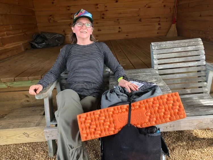
The Bluebell Cafe is a legendary mid-trail resupply stop that often serves as the moral high point of the trip. Owners here are accustomed to hikers and provide a critical link for those who did not want to carry ten days of food from the start.

Water Strategy: Solving the 30-Mile Dry Stretch
Effective Ouachita Trail water management is purely seasonal. The The Ouachita National Recreation Trail is a 223-mile continuous hiking route can be deceptively dry, especially in the western Oklahoma segment. During shoulder season hiking, creek beds may be bone dry until a heavy rain creates a flash flood risk.
The most critical hurdle is the first 30 miles eastbound from Talimena State Park. There is very little reliable water on the ridgeline. To manage this safely, experienced hikers use Ouachita Trail water caching strategies. This involves driving to forest road crossings before starting the hike and leaving gallon jugs of water hidden in the brush.
Key caching locations include forest road 6019, forest road 6032 near Deadman Gap, and the Winding Stair trailhead. Ensure your containers are clearly labeled with your name and expected arrival date, and always pack out your empty plastics to keep the forest pristine.
Safety and Gear: Rocky Terrain and Hunting Seasons
A complete thru-hike of the trail involves a cumulative elevation gain of approximately 34,300 feet, which can take a toll on your body. The eastern section of the trail is famous for its "Ouachita scree"—fields of loose, ankle-turning rocks. Selecting high-quality, durable hiking boots for rocky Ouachita Trail terrain is non-negotiable; many hikers prefer a stiff-soled boot or a trail runner with a rock plate.
Safety in the Ouachita National Forest also requires awareness of the local environment. Much of the trail passes through active black bear habitat. While the bears are generally shy, proper food storage in a bear-resistant container or a proper hang is required. Furthermore, the trail passes through public hunting lands. If you hike during the fall, wearing a blaze orange vest and pack cover is a mandatory safety requirement.
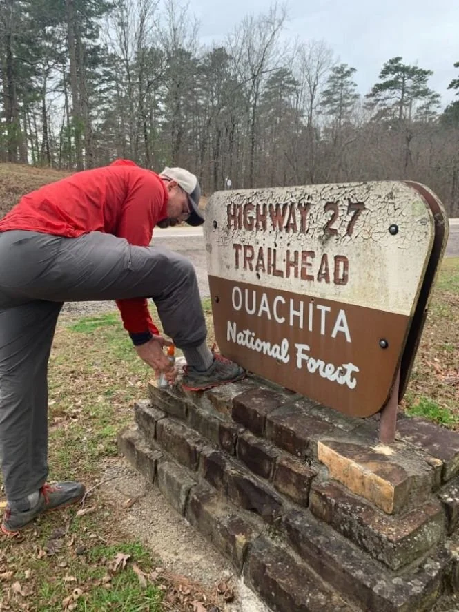
Biological safety is also a priority. For tick prevention for Arkansas backpacking trips, I highly recommend a Permethrin treatment for all your clothing and gear before you leave home. Ticks are active almost year-round here, and Lyme disease or Alpha-gal syndrome are risks you should not take lightly. For real-time updates on water and trail conditions, the Ouachita Trail FarOut app navigation guide functionality is the gold standard for the modern thru-hiker.
Transport: Shuttle Services and Terminus Access
Getting to and from the trailheads requires some coordination. Most hikers fly into Little Rock (LIT) or Fort Smith (FSM). Since there is no public transit to the remote Talimena State Park start point, you will likely need to hire a private shuttle.
Local trail angels and professional drivers are the lifeblood of the Ouachita Trail thru-hike shuttle services. Familiar names in the community include:
- Mike and Lynn: Reliable shuttles covering the entire 223-mile stretch.
- Queen Wilhelmina Lodge: Can sometimes coordinate short hops for guests.
- Local Facebook Groups: The Ouachita Trail hikers group is an excellent place to find current shuttle provider contact info.
FAQ
How long does it take to hike the Ouachita Trail?
Most thru-hikers complete the 223 miles in 10 to 15 days, averaging about 15 to 20 miles per day. Faster hikers may finish in under 10 days, while those who want to enjoy the shelter views or deal with heavy mud may take closer to three weeks.
What is the best time of year to hike the Ouachita Trail?
The best months to thru-hike the Ouachita Trail are late February to early April and October to November. The summer months are generally too hot and humid with high insect activity, while winter can bring ice storms that make the rocky ridges dangerous.
Are there shelters available along the Ouachita Trail?
Yes, there is a magnificent network of 21 shelters spaced roughly 8 to 12 miles apart. These are first-come, first-served and provide excellent protection from the elements, though you should still carry a tent or tarp as a backup in case a shelter is full.
Is water easy to find on the Ouachita Trail?
Water availability is highly variable. The westernmost 30 miles are often dry and require water caching. The rest of the trail relies on seasonal streams and springs; always check the latest updates on the FarOut app and carry a reliable filtration system.
Where does the Ouachita Trail start and end?
The western terminus is located at Talimena State Park in Oklahoma, and the eastern terminus is at Pinnacle Mountain State Park in Arkansas, near the city of Little Rock.