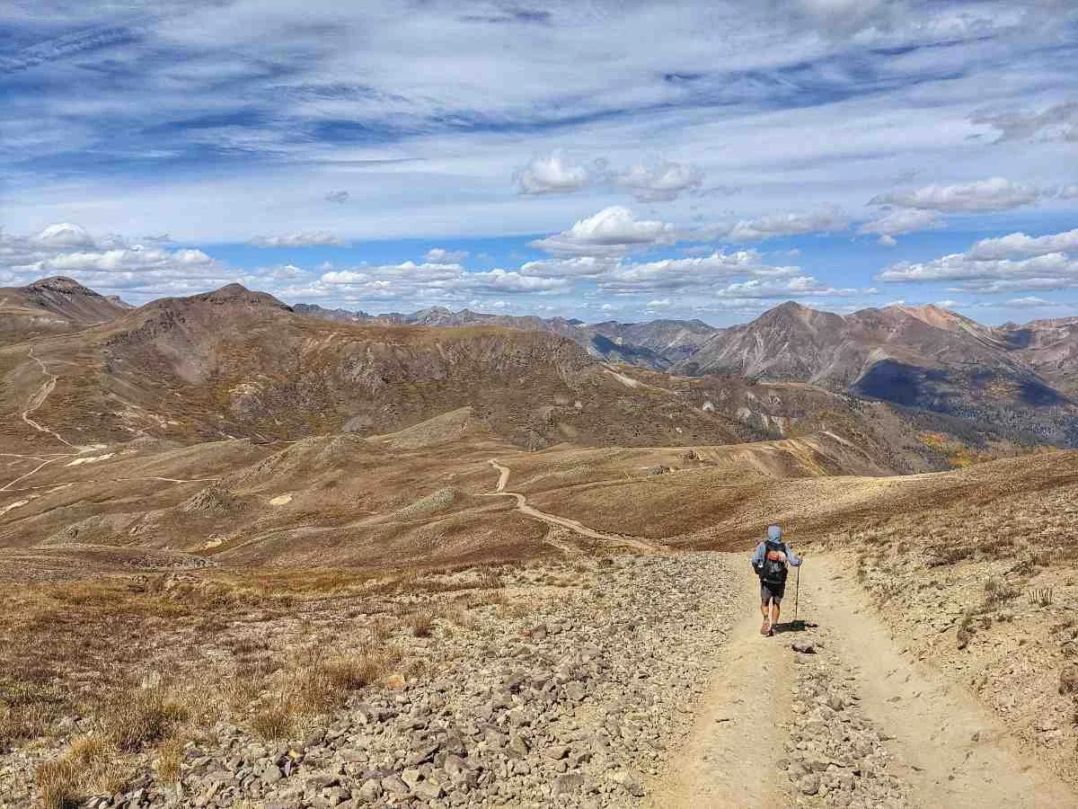
Quick Facts
- Distance: 485 miles (Denver to Durango)
- Total Elevation Gain: Approximately 89,000 feet
- Highest Point: 13,271 feet at Coney Summit
- Average Elevation: Over 10,300 feet
- Typical Duration: 4 to 6 weeks for a full thru-hike
- Best Window: Late July through early September
- Route Split: Collegiate East (original) vs. Collegiate West (high alpine)
The Colorado Trail is a premier long-distance hiking path spanning 485 miles through the heart of the Rocky Mountains. Whether you are aiming for a sub-30 day Colorado Trail thru-hike or section-hiking the San Juans, planning is paramount. From balancing base weight with gear for the Colorado Trail to choosing between the high-alpine Collegiate West and the treeline-protected Collegiate East, this guide provides the essential data for your journey between Denver and Durango.
A standard Colorado Trail thru-hike spans approximately 485 miles between Denver to Durango, crossing six wilderness areas and numerous mountain ranges. Most hikers complete the journey in 20 to 40 days. The ideal season for a thru-hike is late summer and early fall, particularly August and early September, to avoid early-season snow and peak monsoon thunderstorms.
Choosing Your Route: Collegiate West vs Collegiate East
One of the most significant decisions you will make when learning how to plan a Colorado Trail thru-hike occurs near Twin Lakes. Here, the trail splits into two distinct paths: the Collegiate East and the Collegiate West. These routes encircle the Sawatch Range, home to some of the highest peaks in the state, before rejoining at Foose Creek.
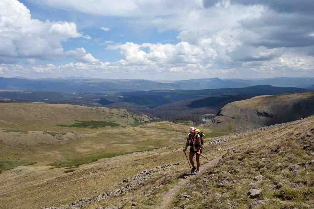
The Collegiate West is the newer addition and has quickly become the favorite for those seeking a true wilderness experience. It follows the Continental Divide closely, staying above the treeline for extended periods. This route offers unparalleled views of the high alpine tundra and the rugged peaks of the West Elk Mountains. However, this beauty comes with a price. The high exposure makes you a target during the afternoon monsoon season, where lightning becomes a daily threat.
The Collegiate East is the traditional route. It generally stays at a lower elevation, weaving through dense forests and offering more protection from the elements. It is widely considered the easier option physically and logistically. For instance, it provides much simpler access to Mount Princeton Hot Springs, a legendary stop for a soak and a hot meal. If you are struggling with acclimatization or if the weather forecast looks grim, the East route is the safer bet.
| Feature | Collegiate East | Collegiate West |
|---|---|---|
| Distance | 78 miles | 82 miles |
| Scenery | Forested, valley views | High alpine, Continental Divide |
| Difficulty | Moderate | Strenuous / High Exposure |
| Resupply | Easier (Mt. Princeton) | Remote |
| Safety | Better storm protection | High lightning risk |
Choosing between the Collegiate West vs Collegiate East depends on your comfort level with high-altitude environments and your physical conditioning. Many repeat hikers suggest that the Collegiate West vs Collegiate East route comparison favors the West for scenery but the East for speed and recovery.
Resupply Strategy: Town Guide and Logistics
Logistics can make or break a thru-hike. Fortunately, the Colorado Trail resupply points are relatively frequent, which means your pack rarely needs to be weighed down by more than four or five days of food at a time. Most hikers utilize a mix of town stops and mailed resupply boxes to keep their kits light and their nutrition high.
We recommend planning your stops around the major hubs. Breckenridge and Leadville are classic mountain towns where you can find full-service grocery stores like Natural Grocers to restock on healthy, high-calorie trail snacks. Salida and Buena Vista are excellent mid-trail stops, offering a chance to recharge before hitting the high country of the San Juan Mountains. For the final stretch into Durango, Silverton and Lake City provide essential services, though their remote locations can result in higher prices.
| Segment Range | Recommended Town Stop | Resupply Method |
|---|---|---|
| Segments 1-6 | Breckenridge / Frisco | Grocery Purchase |
| Segments 7-11 | Leadville / Twin Lakes | Mail Drop (Twin Lakes) |
| Segments 12-14 | Buena Vista / Salida | Grocery Purchase |
| Segments 15-21 | Lake City / Creede | Mail Drop or Hitch |
| Segments 22-28 | Silverton | Grocery Purchase |
A key part of the Colorado Trail resupply points and town guide involves knowing when to mail a box. While most towns have great shops, smaller hubs like Twin Lakes or Mount Princeton Hot Springs have limited selections. If you have specific dietary needs, mailing a box to these locations is highly encouraged. Additionally, Colorado Trail water planning and dry sections are crucial during late August. While the northern segments have plenty of water, some stretches in the Cochetopa Hills can involve 20-mile gaps between reliable sources. Always check the latest updates from the Colorado Trail Foundation or the FarOut app before heading into these dry zones.
Essential Gear for the Colorado Trail
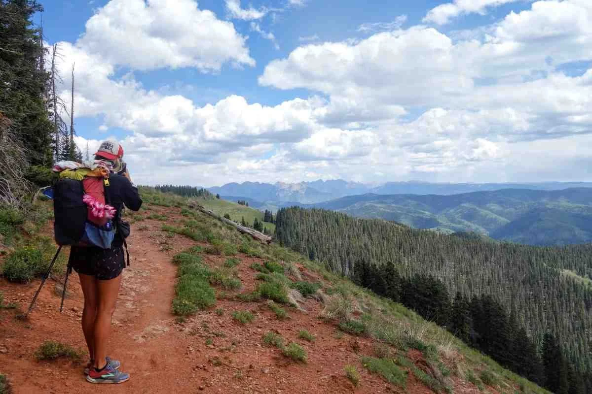
Moving through the Rockies requires a careful balance between safety and weight. The trail reaches a maximum elevation of 13,271 feet near Coney Summit, and its overall average elevation exceeds 10,300 feet. This means your backpacking gear for Colorado Trail must handle freezing temperatures, high-intensity sun, and sudden hail storms.
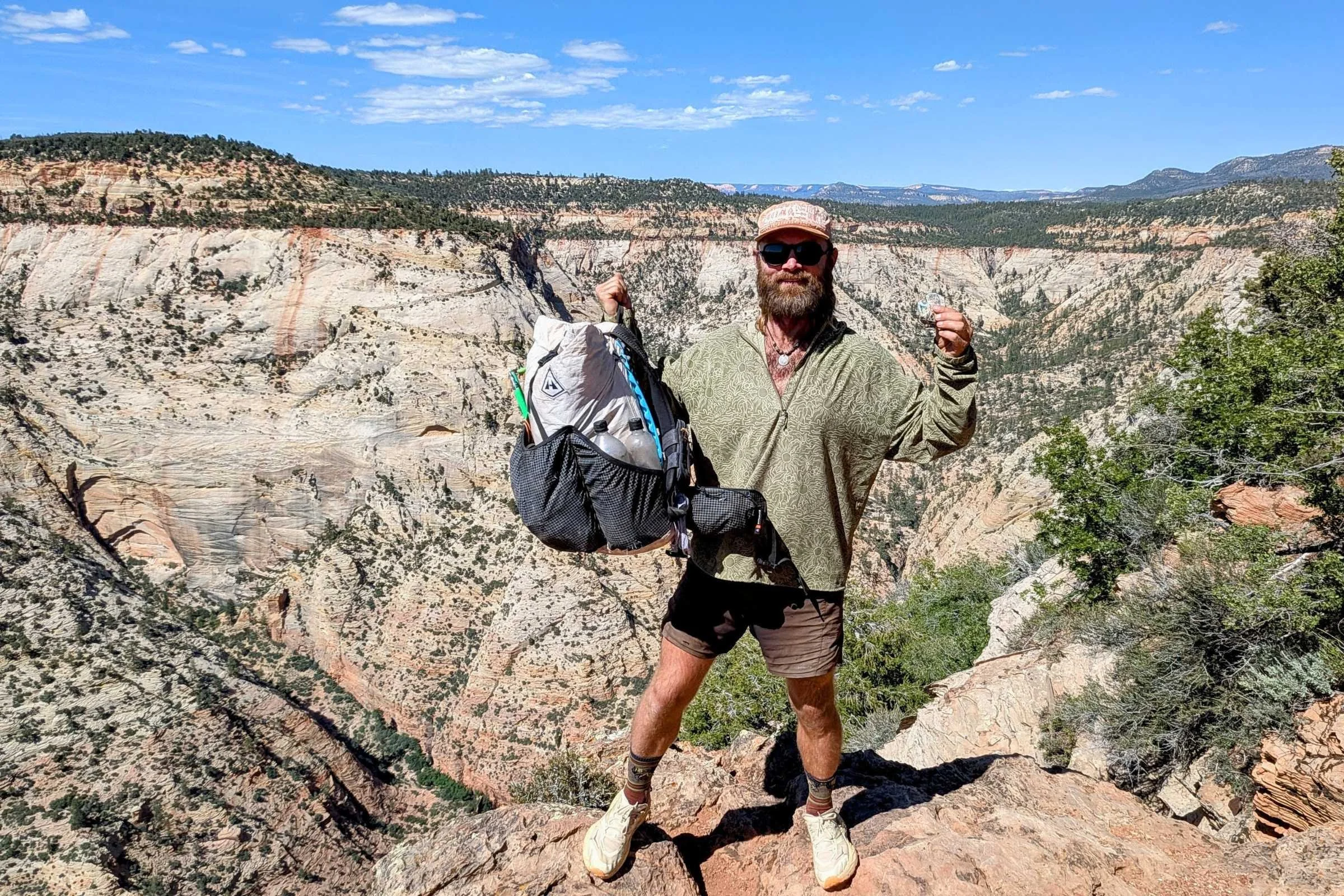
We have seen a massive shift toward ultralight backpacking in recent years. By aiming for a base weight of 15 to 20 pounds, you reduce the strain on your joints during the massive climbs. Boutique cottage brands have become the gold standard here. For shelter, the Durston X-Mid Pro 2 offers an incredible weight-to-weather-protection ratio. For carrying your kit, LiteAF packs are popular for their durability and minimalist design.
One of the most important transitions you can make is switching from heavy leather boots to trail running shoes. A brand like Altra is a staple on the trail because their wide toe boxes allow your feet to swell naturally at high altitudes. Because you will be spending so much time on the alpine tundra, sun protection is also vital. A lightweight sun hoodie and a trekking umbrella can be life-savers, providing portable shade and a shield against the inevitable afternoon hail. Lightweight backpacking gear for the Colorado Trail isn't just about going fast; it's about staying comfortable enough to enjoy the scenery.
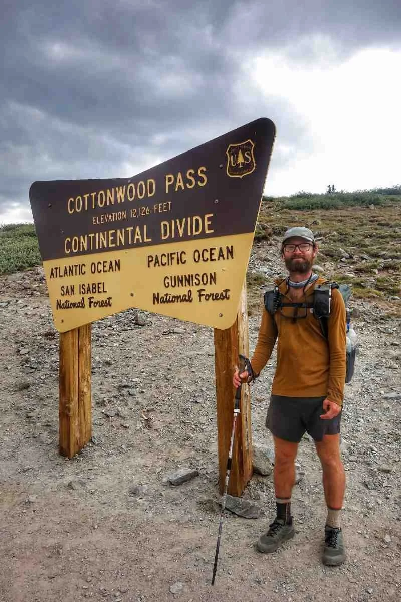
Safety, Regulations, and the 14er Challenge
Safety on the Colorado Trail is largely a matter of managing environmental risks. The most significant threat isn't wildlife; it's the weather. The monsoon season typically peaks in July and August, bringing violent thunderstorms every afternoon. The golden rule for any Colorado Trail thru-hike is to be off the high ridges and below the treeline by 1:00 PM. Lightning strikes are a real danger on the exposed stretches of the Continental Divide and the San Juans.
Regarding wildlife, proper food storage is mandatory. While not every segment requires a hard-sided container, you must be aware of Colorado Trail bear canister regulations and food storage requirements, especially in specific wilderness areas and the San Isabel National Forest. Even where canisters aren't strictly required, using an Ursack or a proper bear hang is essential to protect both your food and the local bear population.
For the high-achievers, the trail offers several opportunities for hiking 14ers from the Colorado Trail. Mount Elbert, the highest point in Colorado, is a popular side-trip accessible from Segment 11. These detours add significant vertical gain to your day, so ensure you have factored in extra calories and time. Proper acclimatization is crucial before attempting these peaks; altitude sickness can affect anyone, regardless of fitness level. Also, be aware of local regulations like the SWA Pass required for Segment 12, as these administrative details can change annually.
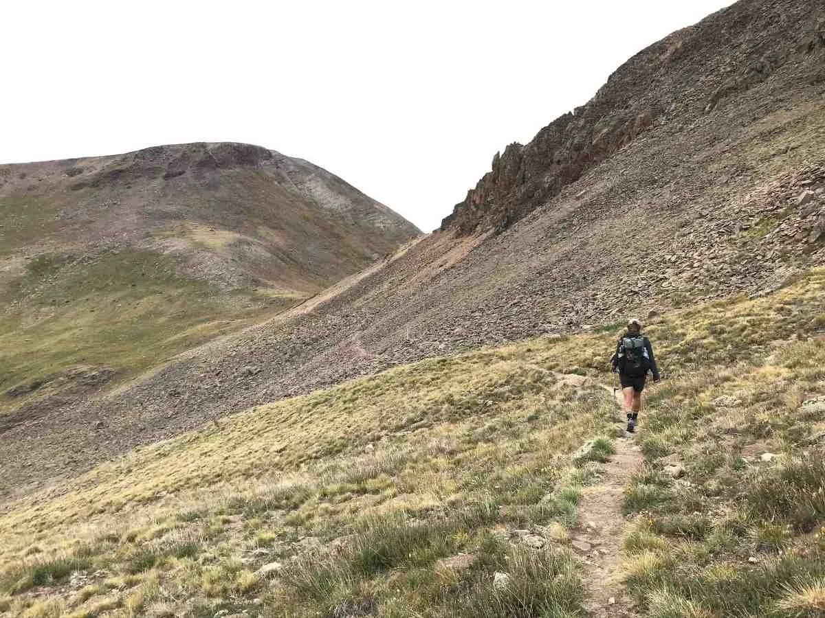
FAQ
How long does it take to thru-hike the Colorado Trail?
The Colorado Trail Foundation estimates that approximately 500 hikers complete the entire trail annually, with most through-hikers taking four to six weeks to finish the journey. Stronger, more experienced hikers may finish in closer to 20 to 30 days, while those who take more zeros in mountain towns may extend their trip to 50 days or more.
What is the best time of year to hike the Colorado Trail?
The best season to hike the Colorado Trail is from late July to early September. Starting in July allows the high-altitude snow to melt off the passes, while finishing by mid-September helps you avoid the first major snowstorms of autumn. August is the sweet spot, though you must remain vigilant about afternoon monsoons.
Do you need a permit to thru-hike the Colorado Trail?
Unlike the PCT or the Appalachian Trail, there is no single thru-hiking permit required for the Colorado Trail. However, you will need to sign in at self-issue permit stations when entering various wilderness areas. Always check for specific local requirements, such as the State Wildlife Area pass for Segment 12.
Should I hike the Collegiate East or Collegiate West route?
The choice depends on your goals. The Collegiate West is more scenic and offers a high-alpine experience along the Continental Divide but is physically harder and more exposed to weather. The Collegiate East is more sheltered, closer to amenities, and generally easier to navigate for those concerned about steep climbs or afternoon storms.
How do you resupply while hiking the Colorado Trail?
Most hikers resupply every 4 to 5 days by stopping in nearby mountain towns. You can hitchhike or take shuttles into towns like Breckenridge, Leadville, and Silverton to buy groceries. For smaller locations with limited shops, such as Twin Lakes or Mount Princeton Hot Springs, sending a pre-packed resupply box via the USPS is the most reliable method.

Conclusion
Finishing a Colorado Trail thru-hike is a life-changing achievement that places you among a dedicated thruhiking community. From the red rocks of Waterton Canyon near Denver to the jagged peaks of the San Juans above Durango, every mile offers a new perspective on the American West. By focusing on a smart resupply strategy, choosing the right gear, and respecting the high-altitude weather, you set yourself up for success. The mountains are calling—it's time to start your journey.