Quick Facts
- Distance: Approximately 210 miles
- Timeframe: Roughly 20 days for a full thru-hike
- Start/End: Clarence B Buckingham Memorial Fountain, Grant Park
- Terrain: Paved paths, crushed gravel, and natural grass
- Camping: Designated sites at Camp Bullfrog Lake, Camp Shabbona Woods, and Camp Sullivan
- Highlights: Connectivity across 70,000+ acres of city parks and forest preserves
- Accessibility: Approximately 190 miles of the loop are open to cyclists
The Chicago OuterBelt Trail is a nearly 210-mile loop that connects Chicago's city parks, suburban forest preserves, and regional greenways. This comprehensive urban thru-hiking guide covers everything from the initial departure at Buckingham Fountain to the tactical logistics of camping within the Cook County Forest Preserves, providing the ultimate blueprint for mastering this massive metropolitan circuit.

The Green Loop: Chicago’s Hidden 210-Mile Wilderness
When most people think of the Chicago Loop, they envision the gleaming skyscrapers of the central business district, the rattle of elevated trains, and the frantic pace of professional life. However, there is another loop—a green one—that circumscribes the entire metropolitan area, offering a vastly different perspective of the Windy City. The Chicago OuterBelt Trail is not just a path; it is a vision of connectivity that links the industrial heritage of the south side to the lush, glacial landscapes of the north.
The concept was spearheaded by the OuterBelt Alliance, born from Jay Readey’s 2018 vision to create a world-class urban thru-hiking route. By stitching together existing gems like the North Branch Trail and the Des Plaines River Trail, the alliance created a continuous path that highlights the ecological diversity of the region. This Chicago OuterBelt Trail is a continuous loop spanning approximately 210 miles that connects more than 70,000 combined acres of the Chicago Park District and the Forest Preserves of Cook County.
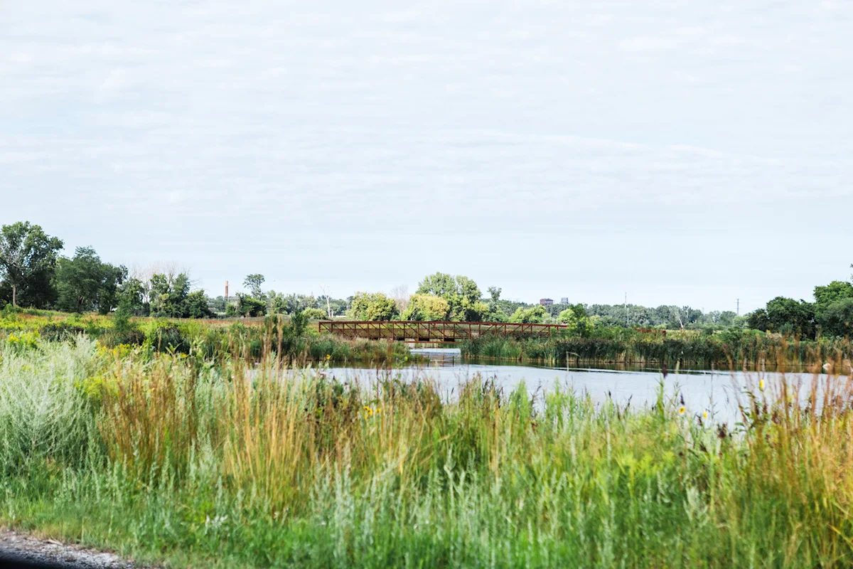
For the modern adventurer, this route represents a metropolitan nature escape that feels worlds away from the urban grid. You might find yourself walking through a quiet hemi-marsh ecosystem in the morning and crossing a Metra track by the afternoon. It is this duality that makes the trail unique. You are never truly lost in the wilderness, yet you are frequently surrounded by the quiet rustle of oak savannas and the sight of migratory birds that call these Chicago forest preserve hiking trails home.
Logistics: Camping, Transit, and Resupply
Planning a thru-hike in a major city requires a different mindset than preparing for the Appalachian Trail. Chicago OuterBelt logistics are defined by a hub-and-spoke model, where the city's robust public transportation system acts as your safety net. Unlike remote wilderness trails, you don't need to carry ten days of dehydrated meals. Instead, you can leverage urban resupply and food points, ranging from suburban grocery stores to local diners just a few blocks off the path.
One of the most critical aspects of chicago outerbelt trail planning guide for thru-hikers is understanding where you can sleep. Traditional dispersed camping is strictly prohibited within the forest preserves. Instead, thru-hikers must utilize the official camping options along the chicago outerbelt trail. The Forest Preserves of Cook County offer three primary locations that align well with the route:
- Camp Bullfrog Lake: Located in the Palos Preserves, this is a jewel of the system. It offers beautiful water views and easy access to the mountain biking and hiking trails that define the southwestern leg of the loop.
- Camp Shabbona Woods: Situated near South Holland, this site provides a restful wooded environment close to the Calumet River sections.
- Camp Sullivan: Nestled in the Tinley Creek Woods, Sullivan is famous for its iconic red barn and provides a rugged, forested feel despite its proximity to the suburbs.
Because you are navigating a metropolitan area, you also have the flexibility to stay in hotels or short-term rentals. This is particularly useful in the northern and lakefront sections where formal campsites are absent. Many hikers choose to hike in segments, using the Metra or CTA to return home or to a central base camp each evening before jumping back onto the trail at the exact mile marker where they left off.
The 20-Day Itinerary: Mapping the Loop
To conquer the full 210 miles, most hikers break the journey into roughly 20 days, averaging about 10 to 12 miles per day. This pace allows for ample time to appreciate the changing scenery and navigate the occasionally complex transitions between jurisdictions. While the full circuit of the Chicago OuterBelt Trail officially starts and ends at the Clarence B. Buckingham Memorial Fountain in Grant Park, the loop is modular. If you aren't ready for a three-week commitment, hiking the chicago outerbelt trail in segments is a popular and rewarding alternative.
The route can be broadly categorized into four major segments:
| Segment | Primary Trails | Highlights |
|---|---|---|
| The North Path | North Branch Trail, Green Bay Trail | Skokie Lagoons, lush ravines, and affluent North Shore suburbs. |
| The West Side | Des Plaines River Trail | A long, forested corridor that follows the river through miles of uninterpreted nature. |
| The South Leg | Cal-Sag Trail, Thorn Creek Trail | Industrial history meets ecological restoration, including Big Marsh Park. |
| The Lakefront | Chicago Lakefront Trail | Iconic skyline views and 18 miles of unobstructed freshwater coast. |
The Des Plaines River Trail is often cited as a favorite for its deep-woods feel, while the southern portion near Big Marsh Park showcases a fascinating hemi-marsh ecosystem that has been reclaimed from former industrial slag dumps. Transitioning from the gritty, historic industrial corridors to the pristine beauty of the lakefront offers a narrative arc that few other trails can match.
Navigating the Unmarked: Gear and Safety
One reality every hiker must face is that the Chicago OuterBelt Trail is a work in progress. While the individual trails that make up the loop are generally well-marked, the "connectors"—the short stretches of street walking or sidewalk navigation that link one forest preserve to the next—can be tricky. Some sections through municipal or private lands may lack official signage entirely.
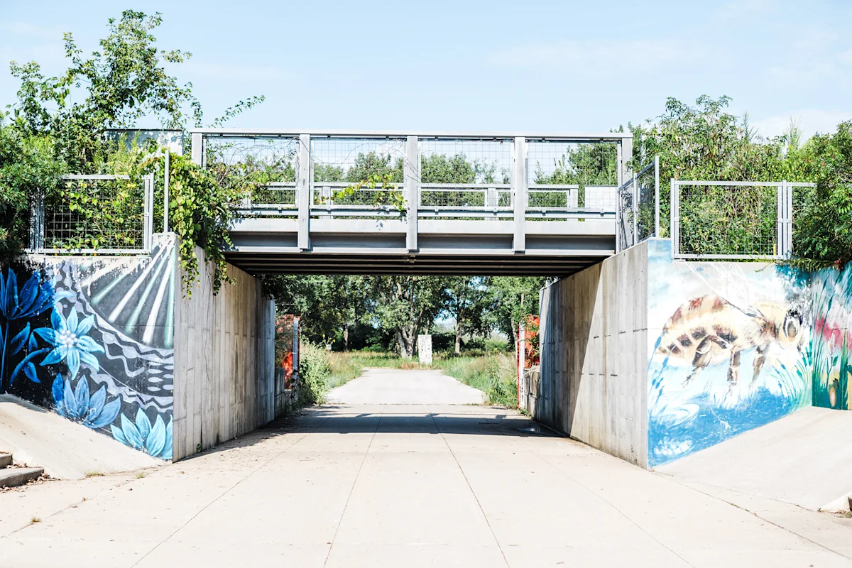
This is why chicago outerbelt trail gps navigation tips are essential. Always carry a digital map (such as those provided by the OuterBelt Alliance) and a secondary power bank for your phone. You will frequently find yourself checking your location at railroad crossings or underpasses.
For your essential gear for an urban thru-hike, prioritize footwear. The terrain is remarkably flat but varies between hard pavement and soft grass. A pair of high-quality trail runners is usually better than heavy boots. I highly recommend packing Leukotape or Moleskin to manage hotspots early, as the repetitive impact of paved miles can be taxing on the feet. Additionally, while water is accessible, many forest preserve water fountains are turned off during the shoulder seasons, so carry a reliable filtration system or be prepared to buy water at gas stations along the route.
FAQ
How long is the Chicago OuterBelt Trail?
The trail is a continuous loop spanning approximately 210 miles. It is designed to showcase the full breadth of the metropolitan area's natural and urban landscapes, connecting hundreds of smaller paths into one grand circuit.
Where does the Chicago OuterBelt Trail start and end?
The official trailhead is the Clarence B Buckingham Memorial Fountain in Grant Park. Because it is a loop, hikers technically start and finish at this iconic landmark, traveling in either a clockwise or counter-clockwise direction.
Can you bike the Chicago OuterBelt Trail?
While the entire 210-mile route is designed for thru-hikers, approximately 190 miles of the loop are accessible to cyclists. Some small sections of the trail consist of narrow natural footpaths or specialized hiking-only zones where bikes are restricted.
How many days does it take to hike the Chicago OuterBelt Trail?
Completing the entire loop typically requires about 20 days. However, the time can vary significantly based on your daily mileage and whether you choose to hike the entire distance at once or break it into weekend segments over several months.
Are there campsites along the Chicago OuterBelt Trail?
Yes, there are designated campsites within the Cook County Forest Preserves. Thru-hikers most frequently use Camp Bullfrog Lake, Camp Shabbona Woods, and Camp Sullivan. It is important to book these sites in advance as they are the only legal places to camp within the preserve system.

The Chicago OuterBelt Trail is more than just a long walk; it is an invitation to see the city from the outside in. Whether you tackle the full 210 miles in a single push or savor it segment by segment, you will discover that Chicago’s true character lies in the green spaces that bind its neighborhoods together. Grab your pack, download your maps, and join the OuterBelt Alliance community to start your journey through the urban wild.