Quick Facts
- Top Overall Pick: Garmin GPSMAP 67i ($600)
- Best Budget Choice: Garmin eTrex SE ($150)
- Longest Battery Life: Garmin Foretrex 801 (1,000 hours in expedition mode)
- Best for Geocaching: Garmin eTrex Solar ($400)
- Market Insight: The global handheld GPS market is valued at approximately $2.27 billion as of 2025 and is projected to reach new heights through 2034.
- Core Technology: L5 Multi-band GNSS is now the baseline for professional-grade accuracy in 2026.
Best handheld gps units in 2026 have evolved beyond simple mapping. The Garmin GPSMAP 67i is the best handheld gps for most hikers, providing a perfect blend of multi-band GNSS accuracy and inReach satellite messaging. Whether you need a simple portable gps for hiking or a rugged handheld satellite messenger, our guide breaks down the top performers.
Choosing Your Gear: GPS vs. Messenger vs. PLB
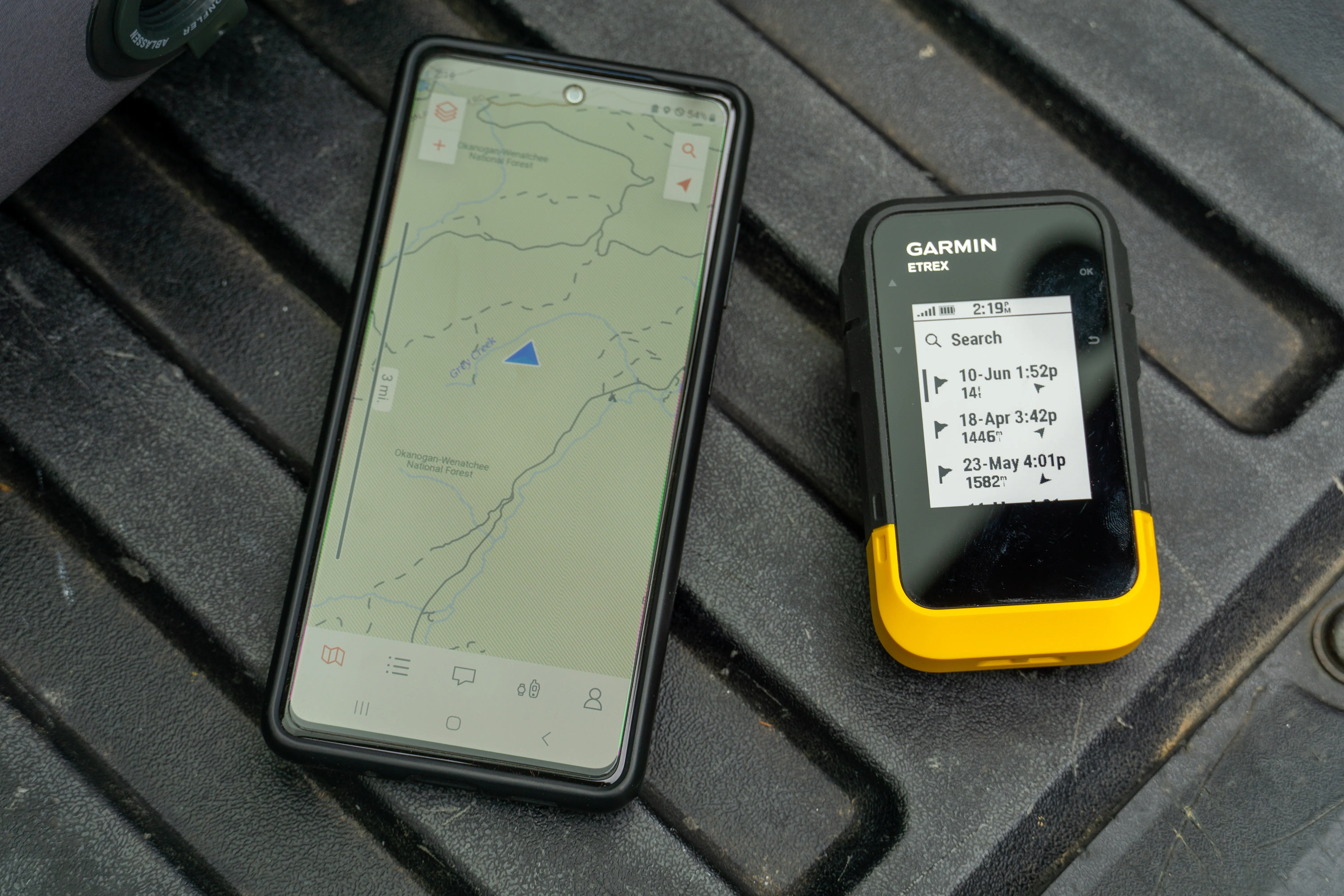
Navigation in 2026 is a tiered ecosystem. While smartphones have improved, a dedicated best handheld gps remains superior for serious trekking. Smartphones rely on internal antennas that often struggle under heavy canopy, and their glass screens are prone to shattering in the backcountry. Dedicated devices offer a rugged IPX7 waterproof rating and specialized sensors like a barometric altimeter for precise elevation tracking and a three-axis compass that works even when you are standing still.
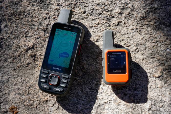
The primary distinction today is between a standalone navigator and a handheld satellite messenger. Devices like the inReach series utilize the Iridium network for two-way communication and an Interactive SOS feature. According to market data, outdoor handheld GPS devices specifically engineered for hiking and backcountry navigation represented the largest product category in the market as of 2025, holding a 38.2% share of total revenue. This dominance is due to the fact that these tools provide portable satellite messenger and gps for emergency safety in a single, resilient chassis. Personal Locator Beacons (PLBs) are still available for those who want a "fire and forget" emergency signal with no subscription, but most modern hikers prefer the versatility of a combined navigation and communication unit.
The 2026 Tech Standard: L5 Multi-Band GNSS
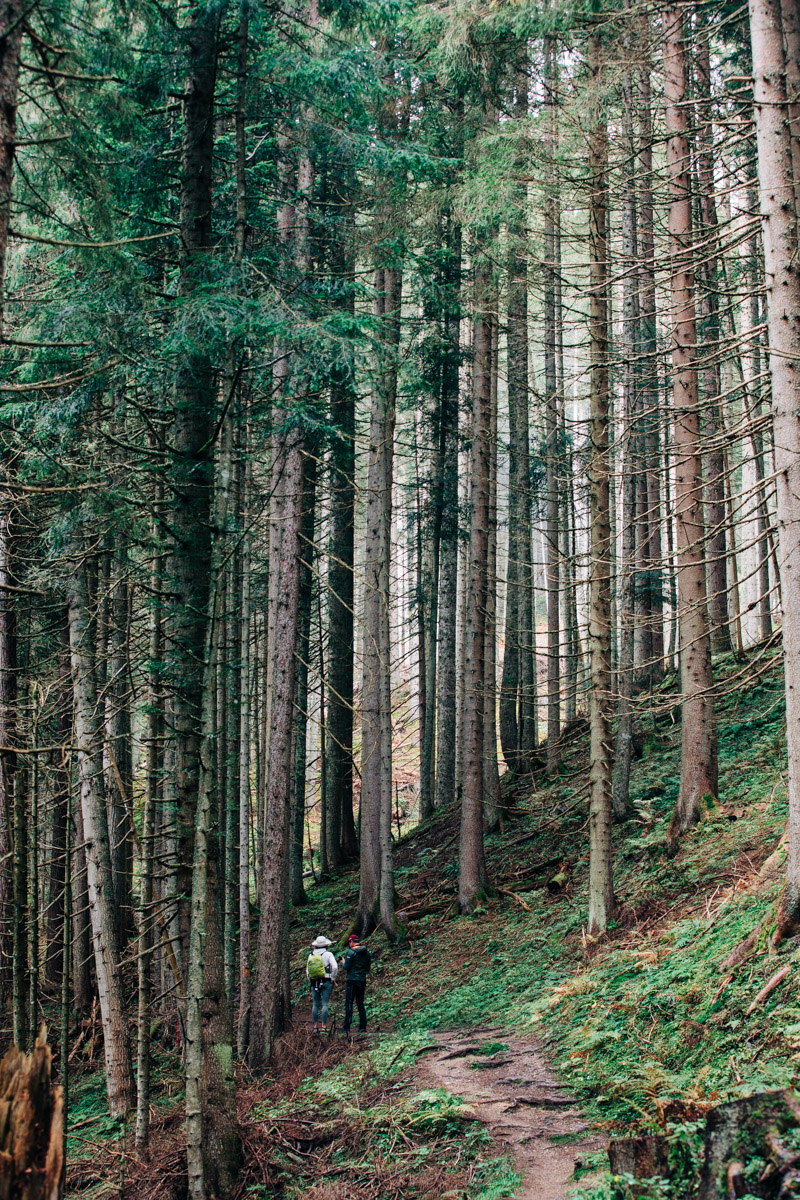
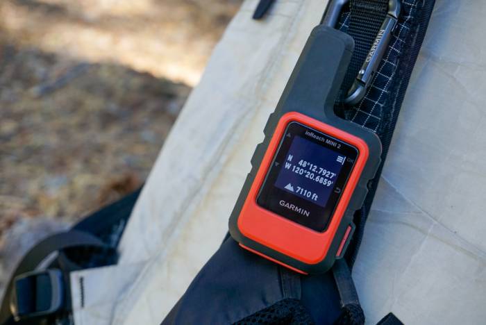
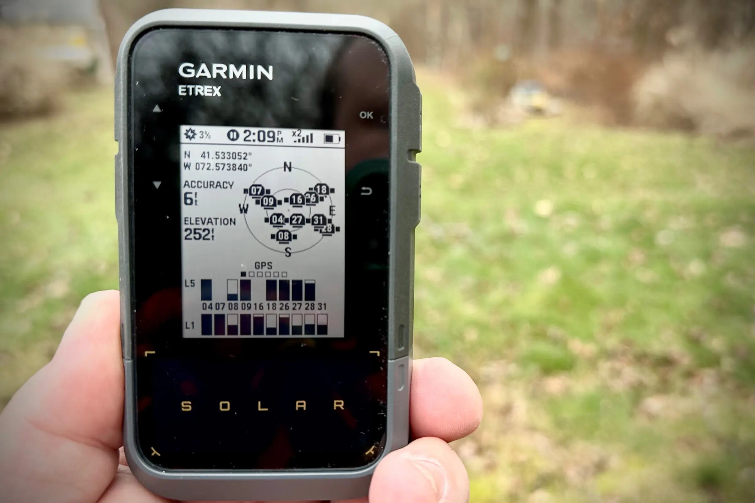
If you are hiking in challenging environments like the Pacific Northwest or the deep slot canyons of Zion, accuracy is everything. The shift from legacy L1 frequency to L5 dual-band frequency has revolutionized the industry. Using a multi-band gnss handheld gps for dense tree cover allows the device to filter out signals bounced off rock walls or reflected by wet leaves, ensuring your track logs remain true to your actual path.
These modern units do not just rely on the American GPS constellation; they simultaneously access GLONASS, Galileo, and occasionally Beidou. The result is a location lock that is accurate within three meters even in extreme conditions. Furthermore, the 2026 standards for transflective display technology have improved, making screens perfectly readable in direct desert sun while consuming minimal power. Modern units also handle GPX files with greater ease, allowing for seamless topographic layering and wireless transfers from your desktop planning software.
Detailed Reviews: Best Handheld GPS Units of 2026
Garmin GPSMAP 67i: The Professional Choice
For the serious adventurer, the Garmin GPSMAP 67i stands as the pinnacle of backcountry navigation. This unit integrates multi-band GNSS with the trusted inReach satellite technology. It is a long battery life handheld gps for multi-day backpacking that eliminates the need to carry both a dedicated GPS and a separate messenger. It features a large, sunlight-readable color display and preloaded TopoActive maps that make complex route finding intuitive.
- Battery Life: Up to 180 hours in standard mode; 840 hours in expedition mode
- Weight: 230g
- GNSS: Multi-band (GPS, GLONASS, Galileo, QZSS, Beidou)
- Water Rating: IPX7
Who Should Skip: Ultralight hikers who only stay on well-marked trails and prefer a minimalist weight profile may find the 67i too bulky and feature-heavy for their needs.
Garmin eTrex SE: The Minimalist’s Best Friend
If you are looking for the best affordable handheld gps for hikers 2026 has to offer, the eTrex SE is the standout. It moves away from complex mapping in favor of high-contrast breadcrumb navigation. It is perfect for those who want a reliable digital backup to their paper maps without the high cost of a color screen or satellite subscription.
- Battery Life: Up to 168 hours (standard)
- Weight: 156g
- GNSS: Multi-GNSS support
- Sensors: Digital compass
Who Should Skip: Hikers who require detailed on-device topographic maps for off-trail exploration should look toward the GPSMAP or Montana series instead.
Garmin eTrex Solar: The Sustainable Geocacher
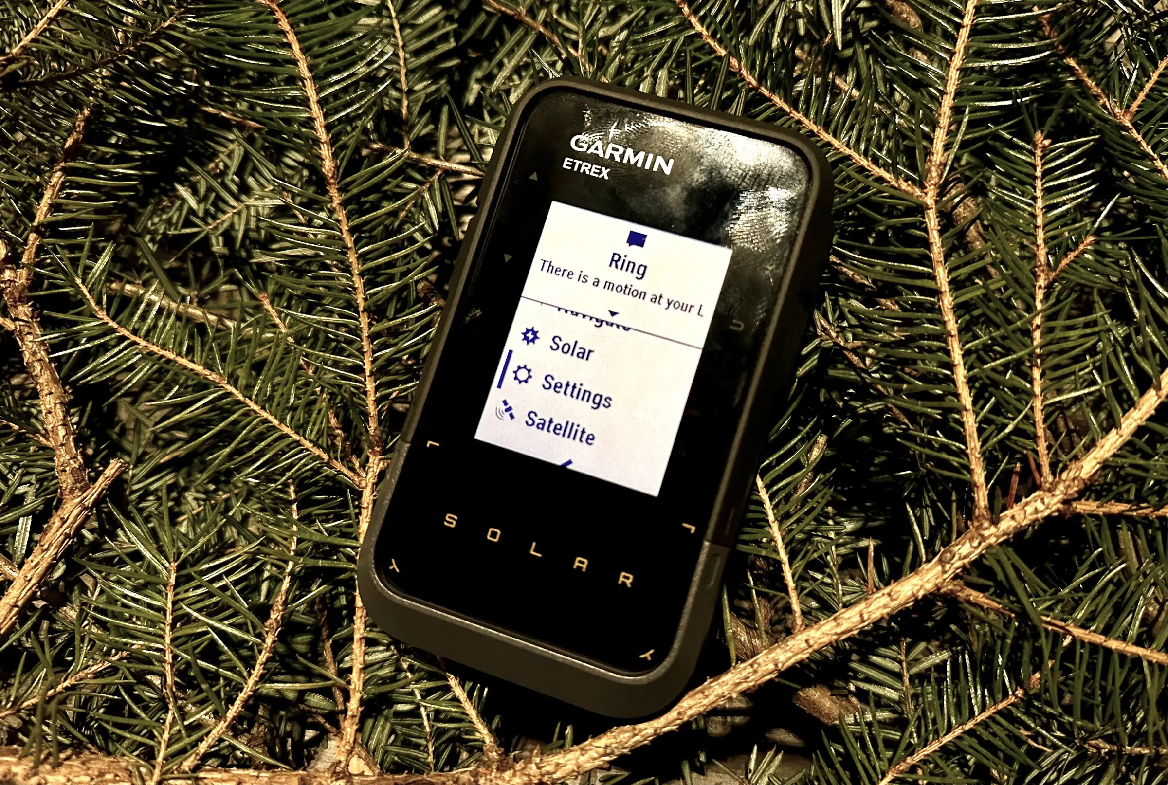
The eTrex Solar is a revolutionary portable gps for hiking that utilizes integrated solar panels to provide potentially infinite battery life in sunny conditions. It is specifically a great gps for geocaching because it includes handheld gps for geocaching with live updates, allowing you to sync cache descriptions and logs directly through the Garmin Explore app without needing a computer.
- Battery Life: Infinite (with 75k lux solar charging); 200 hours without solar
- GNSS: Multi-band
- Special Features: Live Geocaching, Solar Charging
Who Should Skip: Hikers who primarily trek in areas with heavy cloud cover or deep, shaded forests where solar gain is minimal may not see the value in the solar premium.
Garmin Foretrex 801: The Endurance King
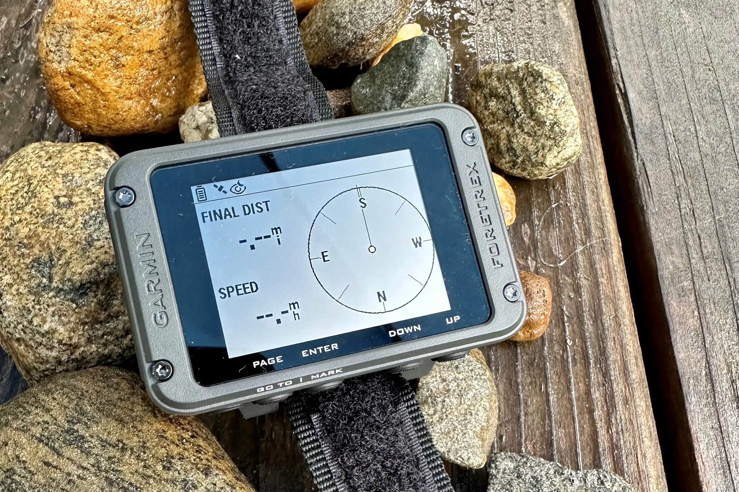
The Foretrex 801 is a wrist-mounted unit designed for those who need their hands free—hunters, climbers, and ultra-endurance athletes. It is rugged, simple, and boasts an incredible battery life using AAA batteries, which are easy to swap in the field. It is arguably the most reliable best handheld gps for those who don't want to worry about internal lithium-ion degradation over years of use.
- Battery Life: Up to 100 hours in navigation mode; 1,000 hours in expedition mode
- Weight: 108g
- Mount: Wrist-strap included
Who Should Skip: Recreational day hikers who prefer a large color map interface will find the monochrome, text-based navigation of the Foretrex frustrating.
Subscription Math: Total Cost of Ownership
When purchasing a handheld satellite messenger, the hardware price is only the beginning. Most units that offer Interactive SOS and two-way messaging require an active subscription to the Iridium network. Over two years, these costs can exceed the price of the hardware itself.
| Plan Tier | Monthly Cost (Approx.) | Best For | Included Features |
|---|---|---|---|
| Safety | $14.95 | Occasional Hikers | SOS, 10 Messages, Unlimited Tracking |
| Recreation | $34.95 | Frequent Weekend Warriors | SOS, 40 Messages, Unlimited Tracking |
| Expedition | $64.95 | Professional Guides | SOS, Unlimited Messages, High-Frequency Tracking |
Hikers should also account for a $20–$35 annual "Freedom Fee" if they prefer to suspend their service during off-seasons. If you only hike once a year, a subscription-free PLB like those from ACR might be a more cost-effective choice, though you lose the ability to text home.
FAQ
What is the most accurate handheld GPS for hiking?
In 2026, the most accurate devices are those equipped with L5 multi-band GNSS technology, such as the Garmin GPSMAP 67i. By accessing multiple satellite frequencies, these units can achieve sub-three-meter accuracy even in difficult terrain where signals might otherwise be obstructed or reflected.
Are handheld GPS devices better than smartphones for navigation?
Yes, for serious backcountry use, a dedicated GPS is superior. They offer significantly better battery life, rugged waterproofing, and physical buttons that work when the screen is wet. More importantly, their external antennas provide a much more reliable signal lock in remote areas compared to the internal chips found in most smartphones.
Do you need a subscription for a handheld GPS?
A subscription is only required if your device includes satellite communication features like those found in the Garmin inReach or Zoleo lines. Standard navigation features, mapping, and basic GPS tracking work entirely for free without any monthly fees.
How long do batteries usually last in a handheld GPS?
Battery life varies greatly by model. A basic unit like the eTrex SE can last 168 hours, while the GPSMAP 67i can reach up to 840 hours in expedition mode. Some newer models with solar charging capabilities can offer virtually infinite battery life if used in high-sunlight environments.
Do handheld GPS units work without cell service?
Yes, handheld GPS units work without cell service by communicating directly with satellite constellations like GPS, Galileo, and GLONASS. They do not rely on local cell towers, making them the primary safety tool for navigation in wilderness areas where cellular signals are non-existent.
Choosing the Right Tool for the Trail
Selecting the best handheld gps for your 2026 adventures comes down to how far off the grid you intend to go. If you are a casual hiker staying on marked paths, the eTrex SE offers everything you need for peace of mind. However, for those venturing into the true wilderness, the investment in a multi-band gnss handheld gps for dense tree cover like the GPSMAP 67i is non-negotiable for safety. Modern technology has made it easier than ever to explore the great outdoors with confidence—just ensure you choose the device that matches the technical demands of your next trek.